By submitting this information, I authorize www.CalFireUdpates.com to contact me, including by email.
Member Benefits
Fire Updates & Photos Delivered Directly To Your Inbox
Share Your Fire Photos & Community Fire Information With Members
Get Special Offers & Discounts
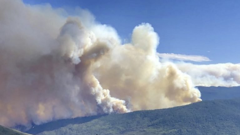
August Complex Fire
Total Acres Burned – 1,032,648
Contained – 100%
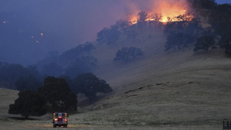
SCU Lighting Complex Fire
Total Acres Burned – 396,624
Contained – 100%
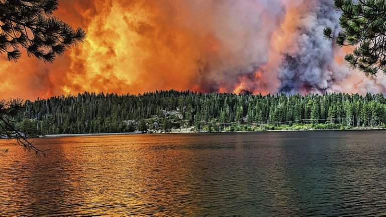
Creek Fire
Total Acres Burned – 379,895
Contained – 100%
Over 4 million acres burned by wildfires in 2020. Compare that to the 2019 fire season, we saw only 259,823 acres burned by wildfires. That is an INCREASE of 1500% acres burned year over year.
Who We Are
We’re a privately-owned company composed of strategic information seekers, free thinkers, and wildfire writers, dedicated to keeping you informed with social media, website, and email updates.